

Beinn a' Mheadhain [Beinn a' Mheadhoin]
Good walks are even better shared.
Overview
Beinn a' Mheadhain [Beinn a' Mheadhoin]
Introduction
Beinn a' Mheadhain is a majestic Munro situated in the heart of the Scottish Highlands. At an elevation of 961 meters, it offers breathtaking views and a solid challenge for hikers. Whether you’re a seasoned climber or a determined novice, this peak has something for everyone.
Geology
Composed primarily of granite and gneiss, Beinn a' Mheadhain showcases the rugged beauty of Highland geology. The ancient rocks tell a story millions of years in the making, with unique features that make for great photography and learning opportunities.
Routes
The most popular route to the summit starts from the Glenlivet Estate, winding its way up through scenic landscapes. Expect a round trip of approximately 12.5 km, and allow around 4.5 hours to reach the top, depending on your pace and how often you stop for photos! For a more challenging trek, the moorland approach from Tough provides an exciting alternative.
Summit Features
When you finally reach the summit, the sight of the large stone cairn will greet you – a perfect photo backdrop! Don’t forget to check the benchmark; it’s always fun to tick that off your list!
Terrain
The terrain varies throughout the hike. You’ll encounter rocky paths, grassy areas, and some boggy patches – wear sturdy boots and perhaps bring along a sense of humour for the wetter bits.
Views
The views from Beinn a' Mheadhain are simply stunning. On a clear day, you can see distant peaks including the Cairngorms and Ben Rinnes, as well as the picturesque Spey Valley below. Spring and autumn are especially charming times to visit when nature puts on its best show.
Hazards
As with much of the Scottish Highlands, be mindful of changing weather conditions and the steep rocky sections. It's vital to prepare adequately and keep an eye on the forecast – this isn't the place for imprudent adventures!
Access
To start your journey, park at the end of the public road near the Glenlivet distillery visitor centre. If you’re relying on public transport, note that options are limited, so having a car will likely enhance your experience. The nearest town, Grantown-on-Spey, is well-stocked with amenities.
Facilities
After your hike, head to Grantown-on-Spey for refreshments. Numerous cafes and pubs await your well-earned appetite.
History
The name 'Beinn a' Mheadhain' means 'the middle mountain' in Gaelic. This peak has significant cultural history within local folklore, making it more than just a physical challenge.
In conclusion, Beinn a' Mheadhain is not just a mountain; it’s an experience that blends breathtaking views, rich history, and challenging terrain. Pack your bags and enjoy the adventure!
Explore routes near Beinn a' Mheadhain [Beinn a' Mheadhoin]
Public walks starting within 80 km of this hill. Nearby does not mean a route reaches the summit; check its map and access before setting out.
Beinn Eighe Lancaster Wreckage at Coire Mhic Fhearchair
View route
Loch Affric full circuit from River Affric
View route
Glen Affric: Coire Loch Woodland Trail
View route
Fairy Lochs Liberator Wreckage Circuit
View route
Route planning notes
These notes describe possible approaches, not verified navigable routes or permission to cross land. Check current paths, local access rules and conditions before setting out.
From the Glenlivet Estate
This popular route begins at the end of the public road through the Glenlivet Estate, leading you on a memorable journey through scenic landscapes.
Moorland Approach from Tough
Starting from the village of Tough, this route takes you across open moorland, with occasional paths to guide your journey to the summit.
Make a day of it, together
Find someone to share the walk with, or organise a day out along a route you like.
Photo Gallery
View all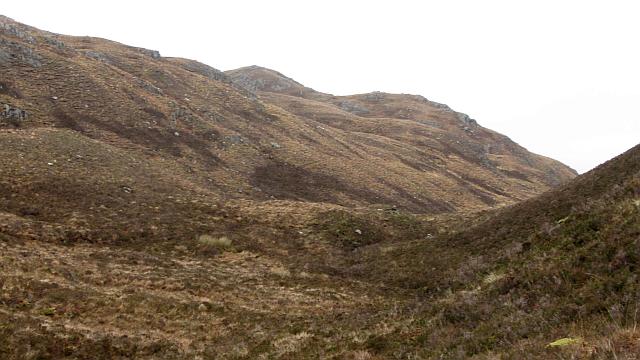 Photo could not load
NG9128 : Beinn a' Mheadhain /Beinn a' Mheadhoin
Richard Webb
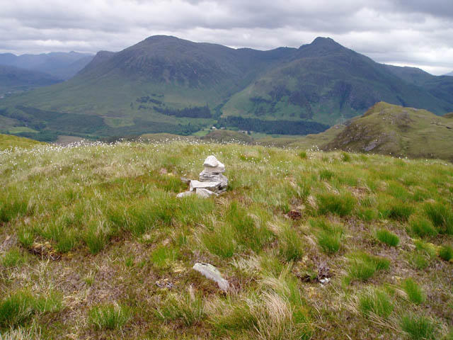 Photo could not load
NG9128 : Summit of Beinn a' Mheadhoin
David Gruar
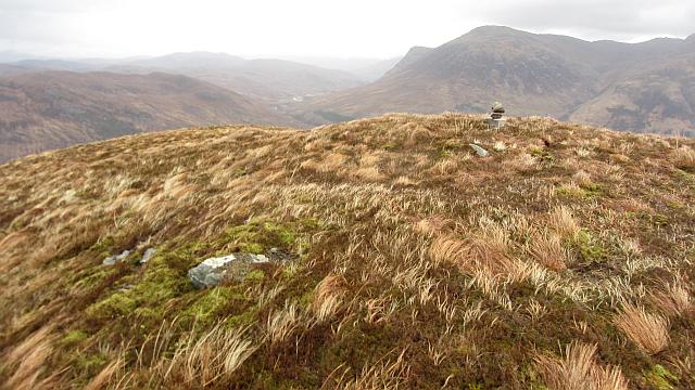 Photo could not load
NG9128 : The summit, Beinn a' Mheadhain
Richard Webb
Hill facts and local notes
Classifications
Elevation
414m
1,358 ft
Prominence
195m
Coordinates
57.3025, -5.4570
NG918288
OS Map
25 33
Explorer: 413N
At the Summit
The summit boasts a sizeable stone cairn, perfect for that all-important summit selfie. There's also a benchmark, so you can rest assured you're at the pinnacle of your adventure.
Terrain & Geology
Beinn a' Mheadhain is predominantly composed of granite and gneiss, with stunning outcrops offering insights into the geological history of the region. The striking crags and cliffs provide an impressive backdrop, particularly noteworthy for geology buffs.
Views & Scenery
From the summit, hikers are treated to breathtaking views of the surrounding peaks, including the Cairngorms and Ben Rinnes, as well as sweeping vistas of the Spey Valley.
History & Heritage
Name Origin
In Gaelic, 'Beinn a' Mheadhain' translates to 'the middle mountain', possibly indicating its position among surrounding peaks.
Historical Significance
The mountain has long been a part of local folklore, featuring in stories passed down through generations, especially among the Highland clans.
Getting There & Facilities
Check current local access restrictions, parking rules and transport timetables before travelling. These notes do not confirm public access to the summit.
Parking
Park at the end of the public road near the Glenlivet distillery visitor centre, where there is ample space for vehicles.
Public Transport
Limited public transport is available; the nearest bus service runs from Aviemore or Keith, but a car is highly recommended for flexibility.
Nearby Facilities
In Grantown-on-Spey, you'll find various cafes, pubs, and essential facilities, including toilets and accommodation options.
Safety Information
Known Hazards
- Steep rocky sections can be tricky, particularly when wet; always keep an eye on the weather, as conditions can change rapidly in the Highlands.
General Safety Tips
- Check weather conditions before setting out
- Carry appropriate clothing and equipment
- Let someone know your planned route
- Take a map, compass, and GPS device
- Carry emergency supplies: food, water, first aid kit, torch
Hills
Some common questions about the hills answered
Are there group walks up Beinn a' Mheadhain [Beinn a' Mheadhoin]?
Many walkers use Walkmates to join or organise walks with others. You can check for group walks around Beinn a' Mheadhain [Beinn a' Mheadhoin] through the maps
Are there other walkers around Beinn a' Mheadhain [Beinn a' Mheadhoin]?
Activity varies by location and time, but Walkmates lets you see whether others have shared walks or shown interest in this area. Find other people through the walking friends search walking friends for Beinn a' Mheadhain [Beinn a' Mheadhoin] search or of course create your own walk for Beinn a' Mheadhain [Beinn a' Mheadhoin]
Can I organise a walk to Beinn a' Mheadhain [Beinn a' Mheadhoin]?
Yes. If there aren’t any walks listed already, you can create a walk and make it available for others to join.
If you're signed up to Walkmates, you can create a walk to Beinn a' Mheadhain [Beinn a' Mheadhoin].
How do I find a walk up this hill?
There are often multiple ways to walk this hill, depending on experience and route preference. Walkmates helps you explore walks and routes that others have shared.
Can I suggest a new route up Beinn a' Mheadhain [Beinn a' Mheadhoin]?
Yes. You can suggest or create routes to share with others. Walkmates focuses on the social side of walking, so routes are used to help people organise walks and explore areas together, rather than as detailed navigation tools or route libraries.
Other uses really appreciate knowledgeable walkers sharing their routes. Share your favourite route to Beinn a' Mheadhain [Beinn a' Mheadhoin] here
The is an error or something incorrect about this hill. How do I let you know?
We always strive to keep the information on Walkmates as accurate as possible. If you find an error, please let us know through the contact form and we'll aim to correct it as quickly as possible
Community Discussion
Comments
Location
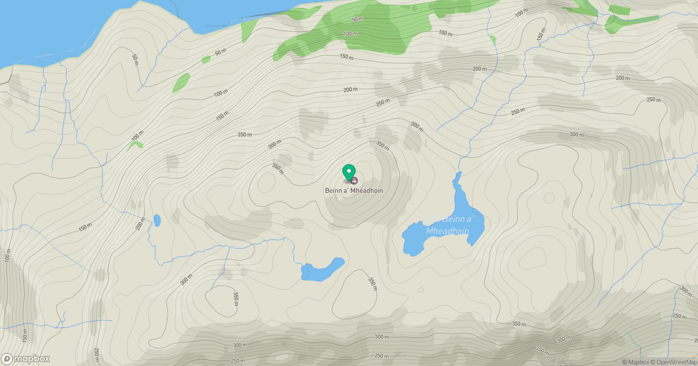
Grid reference: NG918288
View on OpenStreetMapOpens a map in a new tab, centred on the hill.
Hills within 30 km
Straight-line distance, not a walking route or confirmation of access.
Sgurr Fhuaran
1,069m
Beinn Sgritheall
974m
An Caisteal
622m
Sgurr a' Mhaoraich
1,027m
Liathach - Mullach an Rathain
1,024m
No comments yet. Be the first.